Hiking Les Boucles de l'Arlatane
Sport ( Hiking itinerary - Horse riding itinerary )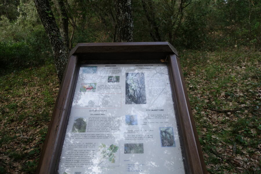
 Pets
Pets Aire de pique-nique
Prestations
- Environnement
- Forest location
- Mountain view
- Village 2 km away
- Languages
- French
- Facilities
- Picnic area
- Services
- Pets welcome
Les boucles de l'Arlatane offer you a walk in the forest of Provence over 2 miles. Throughout the course you will find botanical panels describing the plant species of the Saint-Tropez peninsula.
Les boucles de l'Arlatane offer you a walk in the forest of Provence over 2 miles. Throughout the course you will find botanical panels describing the plant species of the Saint-Tropez peninsula.
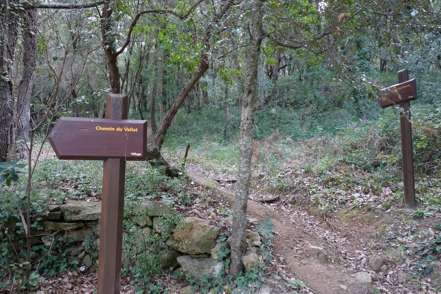
The Arlatane loops consist of four paths: that of the Sources, which links the village to the source of Arlatane, that of Valat
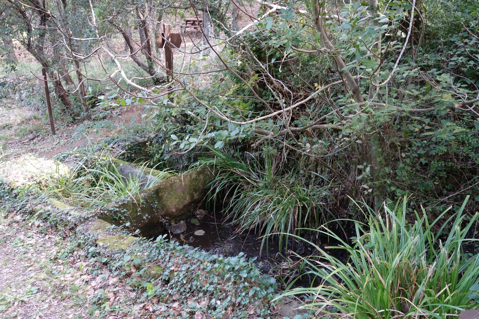
offer you a walk in the forest of Provence over 3.5 km. Throughout the course you will find botanical panels describing the plant species of the Saint-Tropez peninsula. You will also discover the source of the Arlatane and its adjacent washing machine.
Hiking Les Boucles de l'Arlatane
Difference: 230 m
3.5 km
60 min
"Au coeur des Sentiers", available free of charge at the tourist office of Gassin. Map IGN Saint-Tropez Sainte-Maxime Massif des Maures - IGN 3545OT (10€, Leclerc Cogolin)
Hiking Les Boucles de l'Arlatane
- Gradient : 230 m
- 3.5 km
- "At the heart of the trails", available for free at the tourist office of Gassin. Carte IGN Saint-Tropez Sainte-Maxime Massif des Maures - IGN 3545OT (10€, Leclerc Cogolin)
Rates
Free of charge.
L'Arlatane
Accès par le Chemin du Puits Saint-Jean
83580 Gassin