Randonnée du Chemin de la Chapelle Notre-Dame-de-la-Consolation
( Hiking itinerary )


 Pets
Pets Aire de pique-nique
From the medieval village of Gassin, a journey begins that shows you to discover remarkable panoramic points on the islands of Hyères, the Moors and the castle of Grimaud through the rural heritage (sheepfold, chapel, wash house, ...).
This 4-kilometer hike takes you through the Arlatane forest to the source and the wash house. It then takes you down through the vineyards. The path then goes up by the Sheepfold Magnetto then the chapel Notre-Dame-de-la-Compassion. You will pass near the Brûlat mill before returning to the village by discovering the enigmatic Monument to Saint Joseph.
From Place Louis Collomp, at the beginning of the village, follow the Mont Ven Terraou (170 m) then Place Neuve (140 m). Continue on rue Saint-Jean-Baptiste (160 m) before turning right onto rue du Puits Saint-Jean (190 m).
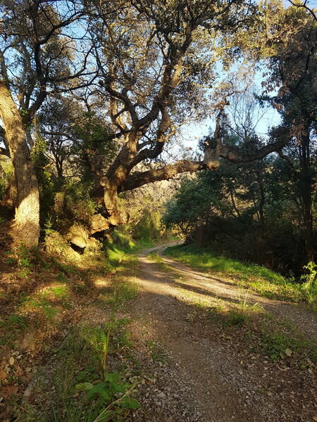
Leave the mini-stadium on your left and enter the Arlatane forest.
Follow the Sources path to the picnic area and the source of the Arlatane (700 m) then the Vallat path to a fork indicating to you by a sign to turn left to continue the path of the Chapel (630 m).
Follow this path (330 m) to the Chemin de Riboty which you take by turning right to the Route de la Vignus (RD 89) (720 m).
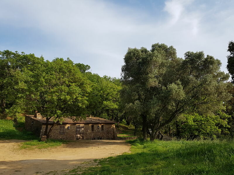
Cross the Vignus road to take the path in the embankment facing you; follow this path up to the sheepfold (350 m). Go around it on the left to take the path that goes up to the chapel (100 m). Continue the climb to the village by taking the path which runs along the cemetery on the left until the Villevieille road (300 m). Here you have the possibility of making a detour to go to the Brûlat mill (400 m round trip).
Leave the Villevieille track on your left and continue your climb up to the Coste Brigade road.
Walk along the cemetery on the left, passing in front of the Saint-Joseph monument, then cross the road and find Place Louis Collomp.
Randonnée du Chemin de la Chapelle Notre-Dame-de-la-Consolation
- Gradient : 222 m
- 4.1 km
- Balisage : Blue marks and signs
- Ground - Not suitable for strollers - Stone
- "At the heart of the trails", available for free at the tourist office of Gassin. Carte IGN Saint-Tropez Sainte-Maxime Massif des Maures - IGN 3545OT (10€, Leclerc Cogolin)
Rates
Free of charge.
Place Louis Collomp
83580 Gassin